The emergence of citizen science in biodiversity monitoring over the past decade has transformed the methods by which biodiversity surveys can be conducted (Chandler et al., 2017). Citizen science has a considerable potential for increasing contributions for both ‘data quantity’ and ‘number of contributors’ to global biodiversity monitoring, if a long -term partnership between scientists and citizens is established(Pocock et al., 2018).
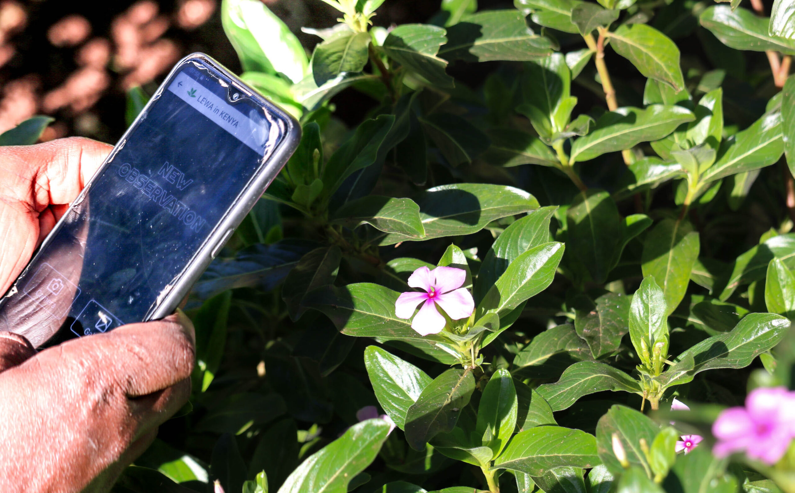
Recent citizen science programmes have mostly been based on digital tools and platforms, which enable the management of a broad community of participants. These platforms offer a way to share protocols and objectives, structure participants’ contributions and facilitate exchanges both of data and of points of views (Newman, Graham, Crall, & Laituri, 2011; Preece, 2016). Apart from providing new tools and ways to involve citizens into research programmes, the platforms have the potential to support the participation of citizens to conservation and management actions. Indeed, managers of endangered species and protected areas face the need to collect large amounts of data with limited means and workforce. In addition, the public is not often aware of the objectives and activities of managers. The new platforms and digital tools used for citizen sciences have the potential to support the activities of managers and to increase the awareness of visiting citizens. Identifying plants is often challenging for practitioners, and even more often for citizens. Several hundreds to thousands of different plant species can coexist in restricted geographical areas, making it difficult for non-specialists to identify and monitor them. Inventories are still essential for characterizing natural habitats (e.g. Corine Biotope, or Natura 2000 for European countries), and consequently for the conservation of associated animal species. The identification problem has long hindered the development of citizen science programmes for monitoring a large number of plant taxa. Overcoming the issue requires (i) developing a computational framework for automatic identification, (ii) acquiring initial training data for efficient automated identification and (iii) building platforms and databases collecting large quantities of observations to meet the multiple needs in this respect. This explains recent investment in computer techniques (Christin, Hervet, & Lecomte, 2019; Wäldchen & Mäder, 2018) based on artificial intelligence and deep learning technologies, in particular. The search for high-performance methods to identify species by image, in order to support citizen science actions, is a recent field of research pursued by computer research teams (Ceccaroni et al., 2019), particularly within the framework of the LifeCLEF international scientific forum (Joly et al., 2019). The plant identification task of this forum involves dozens of teams around the world, which use datasets made available every year since 2011. Annual overviews of this task are available in the following publications: Goëau et al. (2011), (2012), (2013b), (2014), (2015), (2016), (2017), (2018) and (2019b).
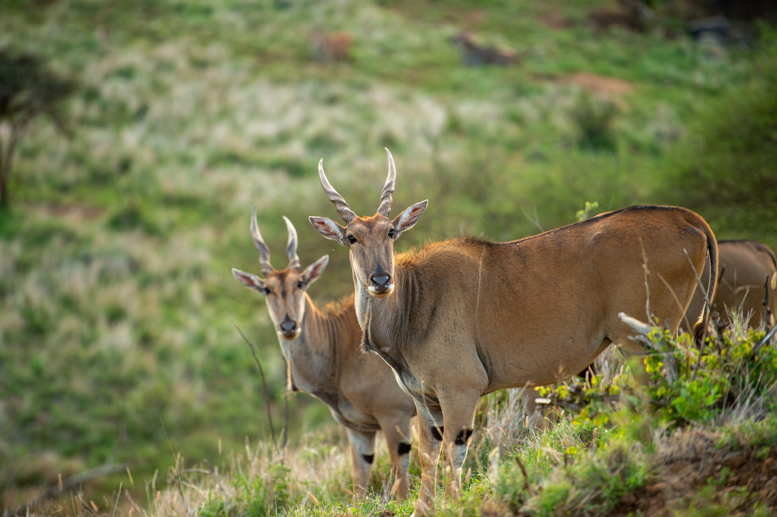
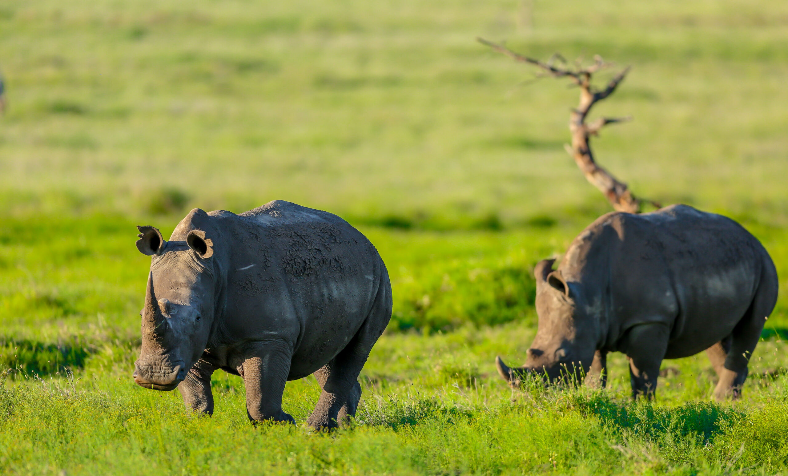
Developing operational platforms relying on these methods still represents a real challenge due to the large expectations to which they are subject, for their identification performances in particular. In order to increase the involvement of managers of natural areas in these platforms, to enable citizen scientists to benefit more widely from them and to increase their contribution to the activities of these managers, we present and discuss here two case studies using one of the most widely used citizen science platforms worldwide (i.e. the Pl@ntNet platform1 (Affouard, Lombardo, Goeau, Bonnet, & Joly, 2017), in different environmental and socio-cultural contexts. The first case study 1 The Pl@ntNet platform has been used every month by 1 to 4.5 million people since the beginning of 2020, on all continents except Antarctica. addresses the use of Pl@ntNet for monitoring plant biodiversity in a nature reserve in Western, temperate Europe, where access to mobile technologies is widespread. In this nature reserve, the volume of animal occurrences recorded by the managers is more than ten times higher than that of plants, that is 64,000 animal records and 6,000 plant records. The second concerns the monitoring of flora in a nature reserve in tropical East Africa, with more limited access to web and mobile technologies. This nature reserve is mainly known for the richness and diversity of its fauna. These case studies illustrate the diversity of interactions between natural land managers and citizens (as presented in Figure 1), as well as part of the expectations of the actors involved. Since we anticipate the increasing use of mobile apps like Pl@ntNet for biodiversity monitoring, such as for early invasive alien species detection as described by Johnson, Mader, Dasgupta, and Kumar (2020), we underline the need to clearly identify obstacles and ways forward for beneficial interactions between practitioners and citizen scientists. This article aims to share the perception of automated identification tools by nature reserve managers, the modes of appropriation they have and the recommendations they would like to share to increase their capacity to involve citizens in conservation initiatives. We believe that sharing these experiences will improve the discussions between managers of natural areas on the benefits and limits of these tools.